


The 2018 Version 1.0 Whistler Valley Adventure Map.
Price: FREE
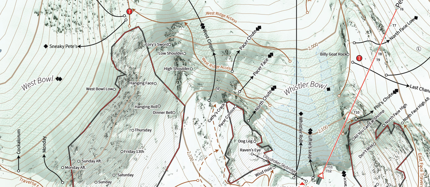
Features
- Landscape orientation.
- Geo-referenced file using NAD83 / UTM Zone 10N allows you to pinpoint your location.
- Extremely high-resolution base imagery, based on 20cm/pixel orthophotos.
- Includes a comprehensive street name listing.
- Includes all lakes, beaches, creeks, and rivers.
- Includes the entirety of the Valley Trail and Cultural Connector.
- Includes all parks and conservation areas.
- Highlights amenities, including sports, washrooms etc.
- Comprehensive coverage of Lost Lake Park including all trails and their difficulties.
- Includes all Whistler subdivisions and their local attractions.
- Includes some of Whistler’s most famous mountain bike trails such as A River Runs Through It, and Train Wreck as well as segments of other popular trails.
- Mobile GPS positioning allows outdoor location pinpointing within 10 meters (based on the effectiveness of the GPS system in use).
- Detailed 20m contour lines extracted from digital elevation models (DEMs).
- Completely self-contained and requires no mobile network data connection on phones with dedicated GPS.
- Updated magnetic declination for 2018 (NOAA).
- This map is sold separately.
